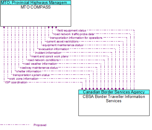
Interface: MTO COMPASS - CBSA Border Traveller Information Services
Architecture Flow Definitions
current asset restrictions (Proposed) Applicable ITS Standards
Restrictions levied on transportation asset usage based on infrastructure design, surveys, tests, or analyses. This includes standard facility design height, width, and weight restrictions, special restrictions such as spring weight restrictions, and tem
equipment maintenance status (Proposed) Applicable ITS Standards
Current status of field equipment maintenance actions.
evacuation information (Proposed) Applicable ITS Standards
Evacuation instructions and information including evacuation zones, evacuation times, and reentry times.
field equipment status (Proposed) Applicable ITS Standards
Identification of field equipment requiring repair and known information about the associated faults.
incident information (Proposed) Applicable ITS Standards
Notification of existence of incident and expected severity, location, time and nature of incident. As additional information is gathered and the incident evolves, updated incident information is provided. Incidents include any event that impacts transp
ISP coordination (Proposed) Applicable ITS Standards
Coordination and exchange of transportation information between centres. This flow allows a broad range of transportation information collected by one ISP to be redistributed to many other ISPs and their clients.
maint and constr work plans (Proposed) Applicable ITS Standards
Future construction and maintenance work schedules and activities including anticipated closures with anticipated impact to the roadway, alternate routes, anticipated delays, closure times, and durations.
road network conditions (Proposed) Applicable ITS Standards
Current and forecasted traffic information, road and weather conditions, and other road network status. Either raw data, processed data, or some combination of both may be provided by this architecture flow. Information on diversions and alternate route
road network traffic probe data (Proposed) Applicable ITS Standards
Aggregated route usage, travel times, and other aggregated data collected from probe vehicles that can be used to estimate current traffic conditions.
road weather information (Proposed) Applicable ITS Standards
Road conditions and weather information that are made available by road maintenance operations to other transportation system operators..
roadway maintenance status (Proposed) Applicable ITS Standards
Summary of maintenance fleet operations affecting the road network. This includes the status of winter maintenance (snow plow schedule and current status).
shelter information (Proposed)
Evacuation shelter information including location, hours of operation, special accommodations, and current vacancy/availability information.
transportation information for operations (Proposed) Applicable ITS Standards
Information on the state of transportation system operations including traffic and road conditions, advisories, incidents, transit service information, weather information, parking information, and other related data.
transportation system status (Proposed) Applicable ITS Standards
Current status and condition of transportation infrastructure (e.g., tunnels, bridges, interchanges, TMC offices, maintenance facilities). In case of disaster or major incident, this flow provides an assessment of damage sustained by the surface transpor
work zone information (Proposed) Applicable ITS Standards
Summary of maintenance and construction work zone activities affecting the road network including the nature of the maintenance or construction activity, location, impact to the roadway, expected time(s) and duration of impact, anticipated delays, alterna